Products
LogIQ™ - Time series server
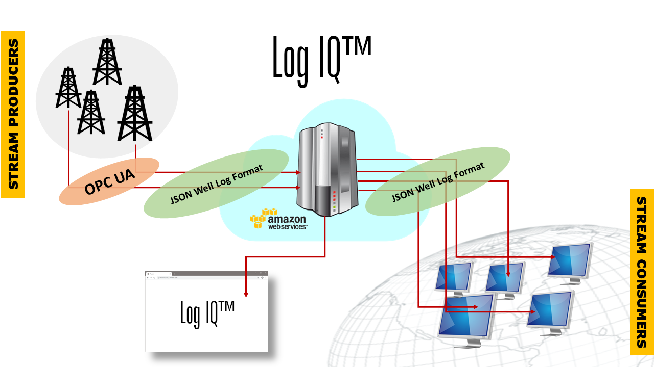
The GeoSoft LogIQ™ time series server is a versatile product for real-time time series capture, storage, monitoring and analysis.
Time series data typically originates from IoT sensors like:
- Industrial components
- Vehicles
- Agricultural/environmental surveillance
- Medical equipment
- Webcams
- Cell phones
- Sports watches
- etc.
LogIQ™ can run in any private or public cloud.
To demonstrate the versatility of the server, GeoSoft has created the ScenIQ™ platform for real-time data analysis and visualization. ScenIQ™ is available as a desktop application or a browser-only web application.
ETP.NET / WITSML.NET
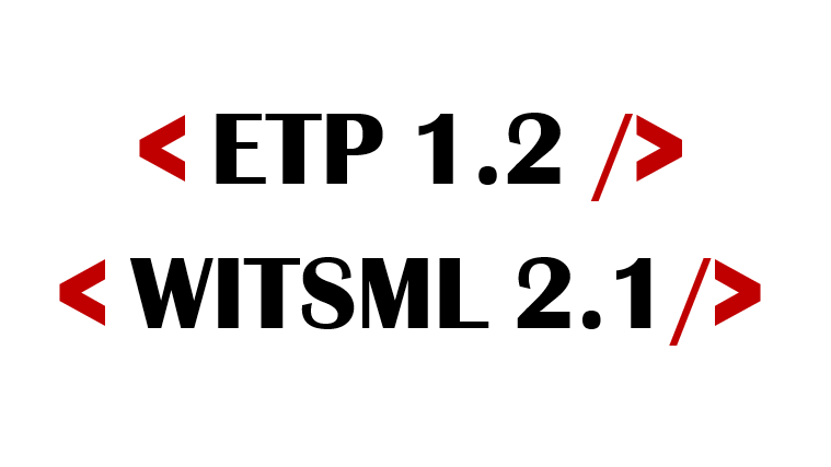
ETP 1.2 is a WebSocket-based transfer protocol by Energistics/OSDU for real-time subsurface data, enabling sub-second transmission speeds for delivering WITSML 2.1 model data.
ETP.NET and WITSML.NET are client libraries for accessing ETP and WITSML services. Developed by GeoSoft, these libraries simplify the complex underlying specifications, providing a clean, easy-to-use .NET API.
- Targets ETP version 1.2
- Supports all 18 ETP protocols
- Implements all 138 ETP message types
- Complete WITSML 2.support
- Built with C#/.NET 8 - no external dependencies
- Cloud-ready - runs on both Windows and Linux environments
The perfect starting point for seamless access to real-time, asynchronous subsurface data.
TimeSeries.JSON
TimeSeries.JSON is a generic storage and transmission format for time series data. The format is the foundation for the GeoSoft LogIQ™ time series server and the GeoSoft ScenIQ™ time series visualization and analysis platform.
TimeSeries.JSON is based on the JavaScript Object Notation (JSON) and the ISO 8601 standard for date and time specification. The format is concise, lightweight and human readable and it has a compact type system with support for established conventions for unit of measurements.
As time series can be vast, TimeSeries.JSON also supports binary representation of bulk data which reduce storage footprint and increase transmission and processing time considerably.
Detailed format specification is found in the GeoSoft time series GitHub repository where we also provide Open Source access logic for a variety of technologies.

JSON Well Log Format
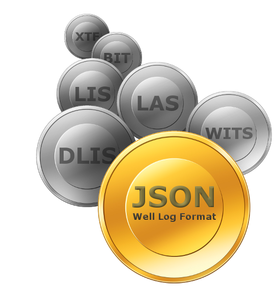
Most well log and drilling data in the oil and gas industry is trapped within tapes and disk files of ancient and hard to access data formats like DLIS, LAS, LIS, BIT, XTF, WITS, ASC and SPWLA.
These formats represents orphaned technologies and are outdated in all possible ways. Their syntax is overly complex, convoluted and awkward, available support software is limited, software tools are rare and documentation is poor or non-existent.
But still: These are the main storage and communication media for well logging information in the 2020s. The amount of data is immense and growing, as is the aggregate cost of maintaining and utilizing this information.
GeoSoft has created the JSON Well Log Format for future requirements of simplicity, compatibility, speed, massive storage, massive transmission, cloud computing and big data analytics. It overcome all of the deficiencies of existing well log formats.
OSDU - Practical Well Log Standard (PWLS)
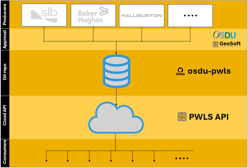
The Practical Well Log Standard (PWLS) is one of the more promising standards to emerge from OSDU/Energistics. It contains complete lists of well tools, curves, properties, companies, logging methods etc. used in O&G exploration.
Its static nature however makes it rather impractical in use, and to mitigate this GeoSoft has devised a dynamic, version controlled (Git), cloud-based (AWS), REST API (JSON) for this standard.
The GeoSoft initiative is a Proof of Concept of how the PWLS process should be set up and maintained. We welcome collaboration from the industry in order to make it production ready.
OSDU - Unit of Measurements Standard (UoM)
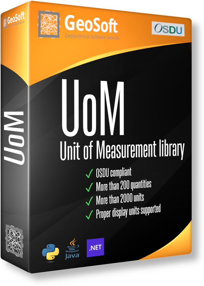
The OSDU Units of Measurements (UoM) is an impressive standard, covering nearly 200 different quantities (length, pressure, temperature, resistivity, etc.) and over 2000 units (m, ft, bar, Pa, etc.), complete with conversion factors. This is a great foundation for any scientific software.
However, the standard has several deficiencies:
- It is not publicly available as it is limited to OSDU members only
- The definitions are convoluted, making it awkward for practical use
- It lacks a simple reference implementation
- Display units are not supported
The GeoSoft UoM open source project addresses all these issues. It includes a single, streamlined JSON file capturing the entire standard, and which can be easily applied to any programming environment in just a few lines of code. Best of all, this JSON file includes proper display units, allowing the use of symbols like °C, µΩ, or m³ instead of the common but less readable degC, uohm, or m3 etc.
GeoSoft provides open source reference implementations in Java, C# and Python, as well as a PoC REST API for querying this information.
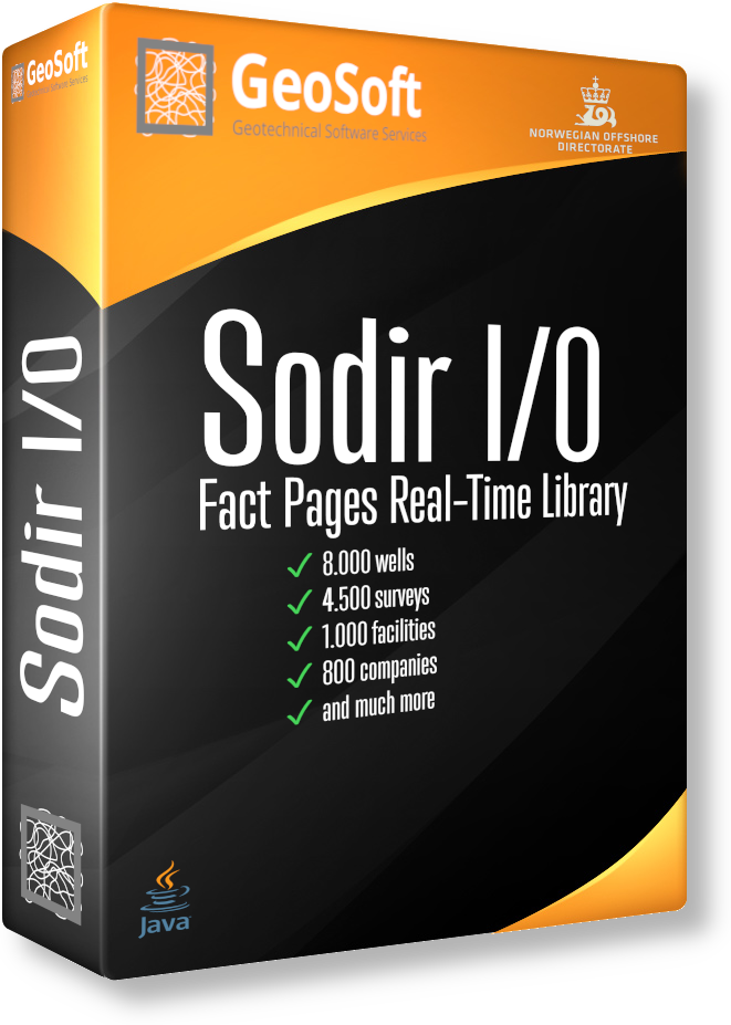
Sodir I/O - Fact Pages Library and REST API
The Norwegian Offshore Directorate (Sodir) Fact Pages is an invaluable source of information for the activities in the North Sea. It contains real-time metadata and production data for 8000 wells, 4500 surveys, 1000 facilities, 800 companies and much more.
Inspecting the information through a web browser is useful, but to really get advantage of this information computerized access is essential.
The GeoSoft Sodir I/O open source library is created for providing programmatic access to the Sodir Fact Pages. The library is also exposed through a public REST API PoC to make the information easily accessible in all possible programming environments.
LogViewer.js
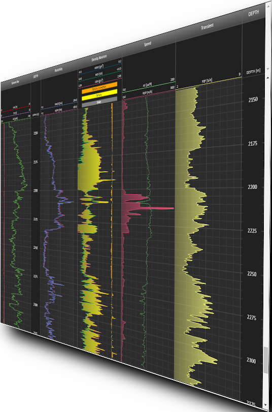
LogViewer.js is a modern fully object oriented EC6 module written in pure vanilla JavaScript without any HTML or CSS. It uses no framework technologies and has no external dependencies. The entire module is a single file of less than 80kb! LogViewer.js is easily embeddable in any HTML5-based E&P application.
LogViewer.js capabilities includes:
- Reusable templates
Track setup based on curve classification, curve names and and units that can be stored and reused for different data sets - Single- and multidimensional curves
Stacked single curves and powerful image log support - Powerful styling capabilities
Colors, lines styles, lithology fills, gradients, transparency, text, symbols, linear/logarithmic scales and much more - Fully interactive
A set of default interactions and a generic API to define custom ones
